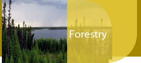
The province of Manitoba, Canada's central province, consists of 65.0 million hectares of prairie, lake and forest. The southern boundary of the province borders the United States at 49° latitude and the northern boundary flanks the new territory of Nunavut at 60° latitude.
Forests make up about 26.3 million hectares of the province's 54.8 million hectare land base.
Boreal Forest
The Northern Coniferous or boreal forest is our largest forest zone. It covers a broad swath across the north central and central part of the province, dipping down to extend across our eastern border into Ontario. You'll find black spruce in the lowland bogs and fens, and jack pine, poplar and white spruce on the uplands. Manitoba's boreal forests support the majority of the province's forest industry, providing resources for kraft paper, lumber and newsprint. This region is important for mining and its large rivers provide hydro electricity for domestic use and export. First Nations' communities are found throughout the boreal forest and the area is an important tourist destination.
Small Broadleaf Forest Stands
The grasslands of southern Manitoba parallel the edge of Manitoba's central forest zone. While often thought as an endless expanse of grass, there are actually thousands of small broadleaf forest stands dotting the prairie landscape. These mini oases of deciduous trees and shrubs not only provide critical habitat for wildlife, but a valuable source of income to farmers and landowners through proper woodlot management.


